About the product
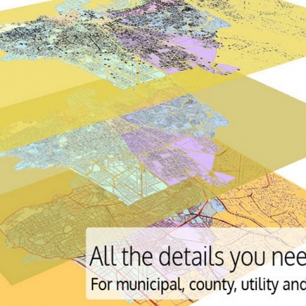
NavLeb's Geographic Information System (GIS) Technology provides GIS Services, GIS Remote Sensing services, GIS Mapping services, and GIS Data conversions Services. Our GIS Team in Lebanon integrates GIS, Global Positioning Systems, aerial photography, satellite imagery, and custom programming for application development for municipal, county, utility and private company projects. While providing GIS Mapping Services, we maintain a commitment to state-of-the-industry technology, research and innovation, implemented by highly experienced and qualified staff. For more than 2 years, our team of engineers, geo-scientists, planners has developed reliable and increasingly well-known GIS products and systems, integrated with GPS, GIS, and CAD.
Contact with supplier
Company